Independent guide to the Illinois Old Plank Road Trail — Joliet to Chicago HeightsE-bike rules by county

Trail towns & stops

Old Plank Trail Connections & Extended Loops

The Old Plank Road Trail plugs into four regional trails. Use them to stretch a 22-mile corridor into a full day — or to find quieter woods at either end.

  • 4 connecting trails
  • Add 1 to 20+ miles
TrailJunctionAdded mileageSurfaceE-bikes
Hickory Creek BikewayHickory Creek Junction, US Route 30, Mokena (Mile 9.2)0.65-mile paved spurPavedWill County rules: Class 1 & 2, <750W, 16+
Thorn Creek TrailEastern terminus, Chicago Heights (Mile 21.6)Continues through Sauk Trail Woods & Brownell WoodsPavedCook County rules: Class 1 & 2 allowed, Class 3 prohibited
Wauponsee Glacial TrailJoliet, via short street route from Mile 0.022.29 miles southRegional trail — check surface by sectionCheck managing district rules
I&M Canal State TrailJoliet, west toward Lockport and ChannahonHistoric towpath, long-distanceTowpath — check surface by sectionCheck state trail rules

Hickory Creek Bikeway

At Hickory Creek Junction on US Route 30 in Mokena, a 0.65-mile paved spur leaves the Old Plank Road Trail for the Hickory Creek Bikeway. It is the easiest add-on for riders starting in Frankfort or New Lenox who want a little more shade and creek scenery.
Thorn Creek Trail

Keep riding past the eastern terminus at Chicago Heights and you roll straight into the Thorn Creek Trail system of the Forest Preserves of Cook County, through Sauk Trail Woods and Brownell Woods. Cook County e-bike rules apply: Class 1 and 2 only.

Wauponsee Glacial Trail

From the Joliet end, a short street route connects to the 22.29-mile Wauponsee Glacial Trail heading south. Combine it with the full Old Plank corridor for a serious endurance day.

I&M Canal State Trail

The historic Illinois & Michigan Canal towpath runs west and southwest from Joliet toward Lockport and Channahon, where regional bike share is available.

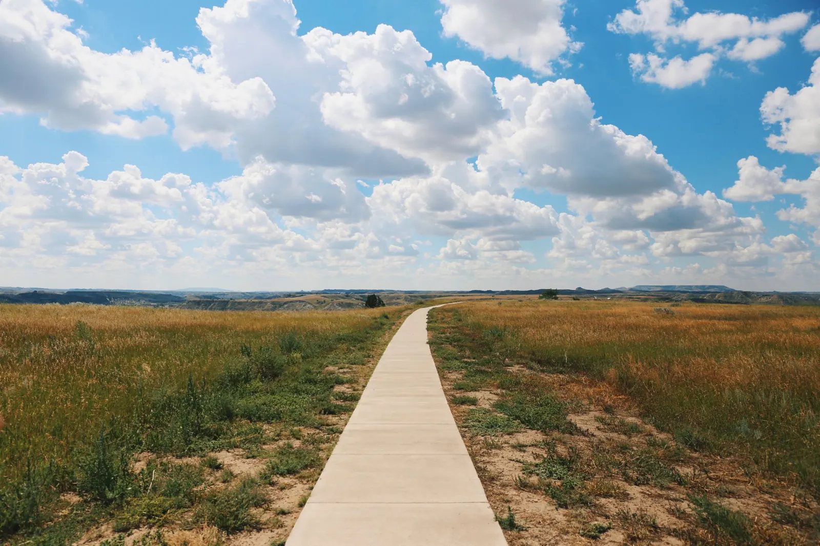
Paved path running straight through open prairie grass under a cloudy sky

Before you extend

Street links at the Joliet end are on-road — ride them like a commuter, with lights in low light. Surfaces change between trails, and each managing agency sets its own rules. If you are on an e-bike, confirm the rules for the next trail before you cross the junction.

See junctions on the trail map